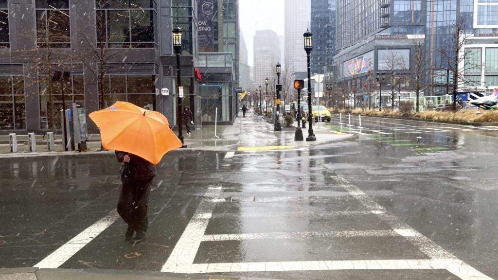
A spring storm system that brought strong rain, wind, snow and tornadoes across several states on Tuesday is now heading towards the East Coast, possibly affecting millions more with serious weather.
The National Weather Service (NWS) issued a bulletin Wednesday warning that people in the Great Lakes area, New York, New England, and the mid-Atlantic region could all experience the effects up to Friday.
The NWS stated that the system will bring significant impacts from heavy snow and wind, and the combination of heavy snowfall and strong winds will lead to dangerous travel conditions, with whiteout conditions and snow-covered roads. The combination of wet snow, high snow load, and strong wind gusts could also cause tree damage and power outages.
NWS forecasters suggested that showers and thunderstorms will bring heavy rain across parts of the mid-Atlantic and Northeast until Thursday morning.
The NWS continued in the bulletin that prolonged onshore winds late Wednesday and continuing through Thursday will lead to moderate coastal flooding for parts of the Northeast Coast. The impacts include widespread flooding on roads, coastal and bayside flooding, impassable roads, and some damage to vulnerable structures.
The storm system already unleashed heavy wind and rain, tornadoes, downed trees, and flooding from the Ohio Valley through the South earlier in the week. Thousands of people remained without power as of Wednesday morning, according to Poweroutage.us, which tracks outages across the country.
Kentucky Gov. Andrew Beshear (D) and West Virginia Gov. Jim Justice (R) have declared states of emergency for their residents.


