An online marketplace of the U.S. Space Force using commercial satellite data has completed about $8 million worth of contracts in the last four months.
Around 25 defense, intelligence, and civilian federal agencies are purchasing data and analytic services from the Space Force-run marketplace, according to Col. Richard Kniseley, senior materiel leader of the Space Systems Command’s Commercial Space Office.
The marketplace was established to support a new program managed by the Space Systems Command called Tactical Surveillance, Reconnaissance and Tracking (TacSRT).
TacSRT aims to utilize commercial data sources to provide faster and more accessible unclassified intelligence to military personnel deployed worldwide, according to Kniseley.
Kniseley mentioned that TacSRT is collaborating with 30 commercial data and analytics vendors to provide insights to military commands worldwide on various topics. Customers request specific pieces of information and vendors can bid for the contract. SpaceNews “Since January, TacSRT has utilized the global data marketplace to complete 40 unique efforts, with each effort involving at least two commercial vendors, resulting in the delivery of over 200 value-added operational planning products,” Kniseley explained.
The contracts are for insights on global trends and activities like actions by violent extremist organizations; updates on humanitarian assistance and disaster relief following earthquakes, floods, landslides, volcanic eruptions and forest fires; and indication and warning identification of potential threats.
The TacSRT program received a significant boost from Congress in the 2024 spending bill, which included $50 million for commercial space services in the Space Force budget — including $10 million specifically for monitoring the Southern Command region and $40 million for broader surveillance, reconnaissance and tracking services in support of U.S. military combatant commands worldwide.
The extra funding allocated by Congress reflects concerns on Capitol Hill regarding combatant commands lacking timely access to the intelligence community’s commercial imagery pipeline, resulting in military operations being short on those crucial data feeds.
The director of the National Geospatial Intelligence Agency pushed back strongly on suggestions that the military is not receiving intelligence from the agency’s analysts quickly enough on May 6. “Thanks to our deep integration with combatant commands and interagency partners, they have a strong understanding of operational priorities,” Vice Adm. Frank Whitworth said at the GEOINT Symposium. “And we use that understanding to develop innovative collection strategies using every geospatial intelligence source.” Whitworth rejected the criticism about intelligence delays and the perception that the agency is not rapidly delivering actionable products to the front lines.
“For anyone who suggests we’re not moving as rapidly as possible — in our actions and our analysis — let me be clear: That’s simply not the case,” Whitworth insisted. “We will continue advocating for a unified geoint enterprise focused on providing the best integrated operational picture at speed and with precision.”
Space Force marketplace welcomed by industry
Executives from the remote-sensing industry stated that the TacSRT program is a valuable way for them to reach government customers and contracts.
While commercial satellite operators are eager to make their imagery and analytics available to the government, they also want to avoid the interagency conflicts over who controls the procurement of commercial imagery.
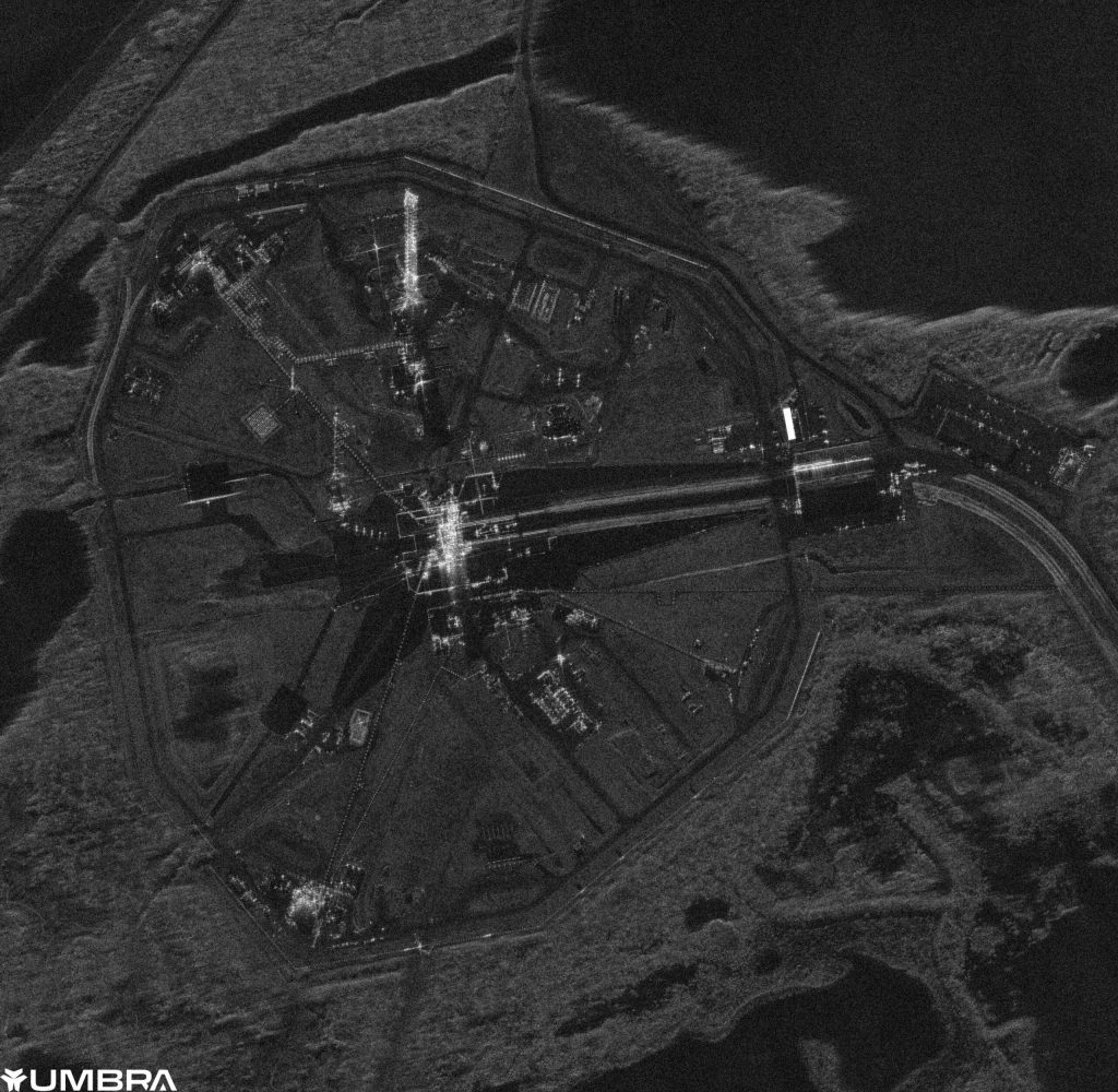
Jason Mallare, vice president of global solutions at Umbra, a company that operates synthetic aperture radar (SAR) imaging satellites, stated that TacSRT presents a “real opportunity.”
The program collaborates directly with data analytics firms, “and those firms have a robust supply chain of companies like us, and we find that that’s working pretty well,” said Mallare.
The next goal for TacSRT is to find ways to improve the timeliness of data deliveries and enable government customers to directly request commercial satellites, he said, “so the data can be delivered in hours, not in days or weeks.”
Eric Jensen, CEO of Iceye U.S., the U.S. subsidiary of Finland’s SAR imaging provider Iceye, described the Space Force’s commercial marketplace as a valuable “incubator.”
“For companies like us, it provides a connection between analytic services and data providers,” Jensen said. It also provides “direct access to end users and their problem sets.”
This is important, he added, so commercial companies can gain a better understanding of what types of insights and data the military is seeking.”
The Space Force has established long-term business relationships with commercial satellite communications companies so they can access capacity when needed, Jensen said. “That model can be applied to the remote sensing industry.”
KISSIMMEE, Fla. — A U.S. Space Force online marketplace that taps into commercial satellite data has executed around $8 million worth of contracts over the past four months. About 25 […]
“For companies like us, it provides a nexus between analytic services and data providers,” Jensen said. It also provides “fairly direct access to end users and their problem sets.”
This is important, he added, so commercial companies can get a better understanding of what types of insights and data the military is seeking.”
The Space Force has built long-time business relationships with commercial satellite communications companies so they can access capacity when needed, Jensen said. “That model can be applied to the remote sensing industry.”


