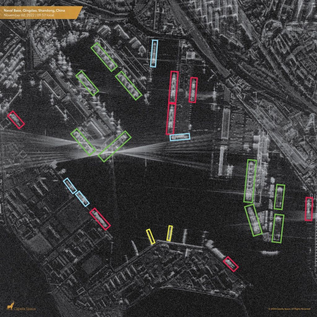
ORLANDO, Fla. — Capella Space, a company that creates and operates synthetic aperture radar (SAR) satellites for imaging the Earth, has created a tool to automatically identify vessels seen in satellite images.
David Hemphill, a senior product manager at Capella Space, explained SpaceNews on May 6 at the GEOINT Symposium that the data on vessel classification can be incorporated into satellite-tasking software applications. “During the tasking process, users can request both SAR imagery and analysis of vessel classification,” he stated.
The system also utilizes artificial intelligence for historical analysis, allowing classification in imagery from Capella’s archive. “Analysts can pinpoint specific locations within SAR imagery and quickly gain insights into types of vessels,” Hemphill mentioned. “This is useful for monitoring activities in ports, shipping lanes, or other areas.”
Amid growing demand for maritime surveillance and awareness of maritime domains, companies such as Capella Space and others in the SAR imaging sector are introducing products to offer customers better insight into maritime activities.
Four SAR satellites
Based in San Francisco, Capella Space operates four SAR satellites and is planning to launch more, Hemphill said.
Technology developed by the defense contractor EMSI, which specializes in using SAR data and AI to track moving maritime targets, is utilized in the vessel classification tool.
Hemphill emphasized that the vessel classification technology aims to transform data into information. “You don’t necessarily have to be able to interpret SAR imagery to do this vessel classification, which broadens the audience for SAR,” he stated.


