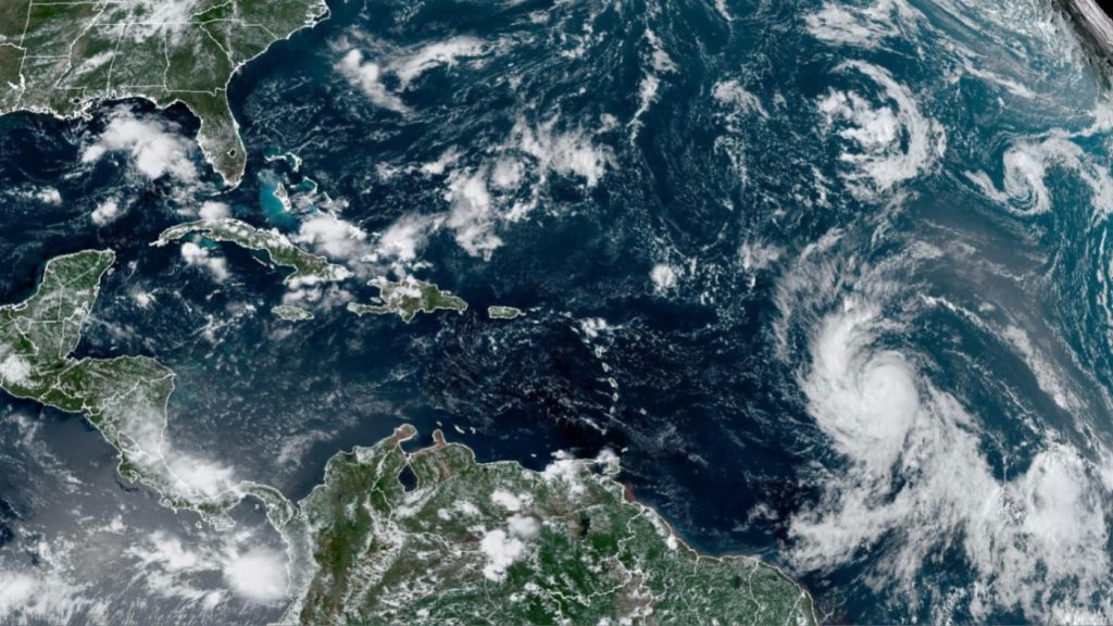
Meteorologists are watching out for a potential La Niña weather pattern later this year, which could enhance Atlantic hurricanes.
The National Weather Service’s (NWS) Climate Prediction Center revealed on Thursday that there is a 62 percent chance of La Niña forming in June through August.
La Niña is a weather pattern that starts in the equatorial Pacific where trade winds are more forceful than usual, and this causes warm water to move towards Asia and the jet stream to shift north. It is one phase of the El Niño-Southern Oscillation, a periodic change in sea surface temperature and air pressure above.
In an update on Thursday, the National Oceanic and Atmospheric Administration (NOAA) stated that La Niña “can also play a role in the Atlantic hurricane season.”
In short, La Niña tends to decrease wind shear — the variation in wind between the surface and high in the atmosphere,” the update explains. “Less wind shear can make it easier for hurricanes to get stronger. NOAA’s hurricane outlook is released in May, so we will have more information then on how La Niña, ocean temperatures, and other factors are likely to impact hurricane activity this season.”
El Niño years typically bring chilly, rainy winters to California and the southern U.S., while causing warm, dry conditions in the Pacific Northwest and Ohio Valley. La Niña tends to bring the opposite: dry conditions for the entire southern half of the country, but colder, wetter weather for the Pacific Northwest.


