Google Maps’ Street View has become more than just a way to find your way around or look at creepy images of your own house on the web. It’s now a way to explore parts of the world most of us are way too lazy to visit. You can go to the Grand Canyon, or the Amazon rainforest, or see parts of North Korea. You can even explore inside offices and underwater.
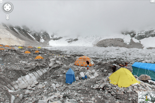
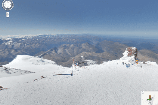
Next stop on the tour: the tallest mountains on Earth. You can now scale Mt. Everest, Mt. Kilimanjaro, Russia’s Mt. Elbrus and Argentina’s Aconcagua without ever lacing up your hiking boots.

Everest Base Camp
Unlike the Grand Canyon views, shot with Google’s new Trekker backpack camera, the mountain views were shot with a tripod and a digital camera with a fisheye lens. Google Innovation Lab employee Dan Fredinburg told Mashable he got the idea to bring Google Maps to the Seven Summits (the highest mountains on each continent) while climbing Japan’s Mt. Fuji.
You can see the full collection of photos from the summits and some surrounding attractions and read more about the team behind the Everest trip on the Google Maps blog.


