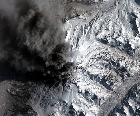
This photo of Mount Redoubt, caught in mid-eruption, was taken from a height of 423 miles, on March 30, 2009 as the GeoEye-1 satellite moved from north to south over Alaska at a speed of 4 miles per second. Since the amount of area is so large, the ground resolution of this image is 2 meters.
See The Mount Redoubt Eruption From Space
Keep updated
Get the latest creative news from FooBar about art, design and business.
Copyright © 2025 The Plaza Journal. All rights reserved.


